GEOSPATIAL (future release)
IDCube Geo has unparalleled performance in hyperspectral imaging analysis of geospatial data. We offer strategically designed functions for remote imaging, agriculture, mineral and soil analysis, urban development, and environmental disaster visualization.

Remote Imaging
IDCube Geo explores geospatial data from satellites, drones, and planes.

Precision Agriculture
IDCube Geo characterize, model, classify, and map agricultural crops and natural vegetation

Minerals and Soil Analysis
IDCube Geo provides soil and mineral identification.

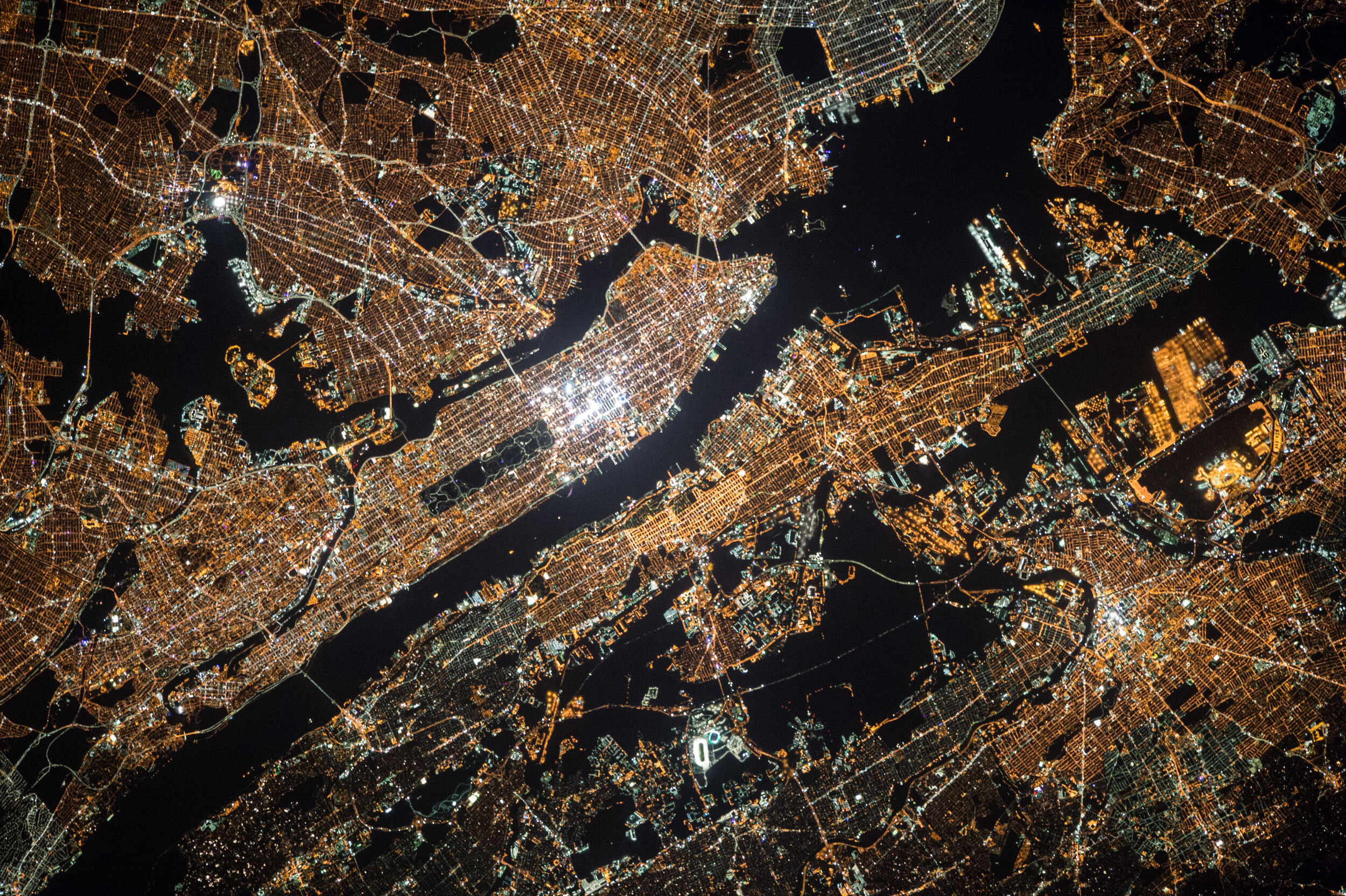
Urban Development
IDCube Geo identifies different construction activities in complex urban settings
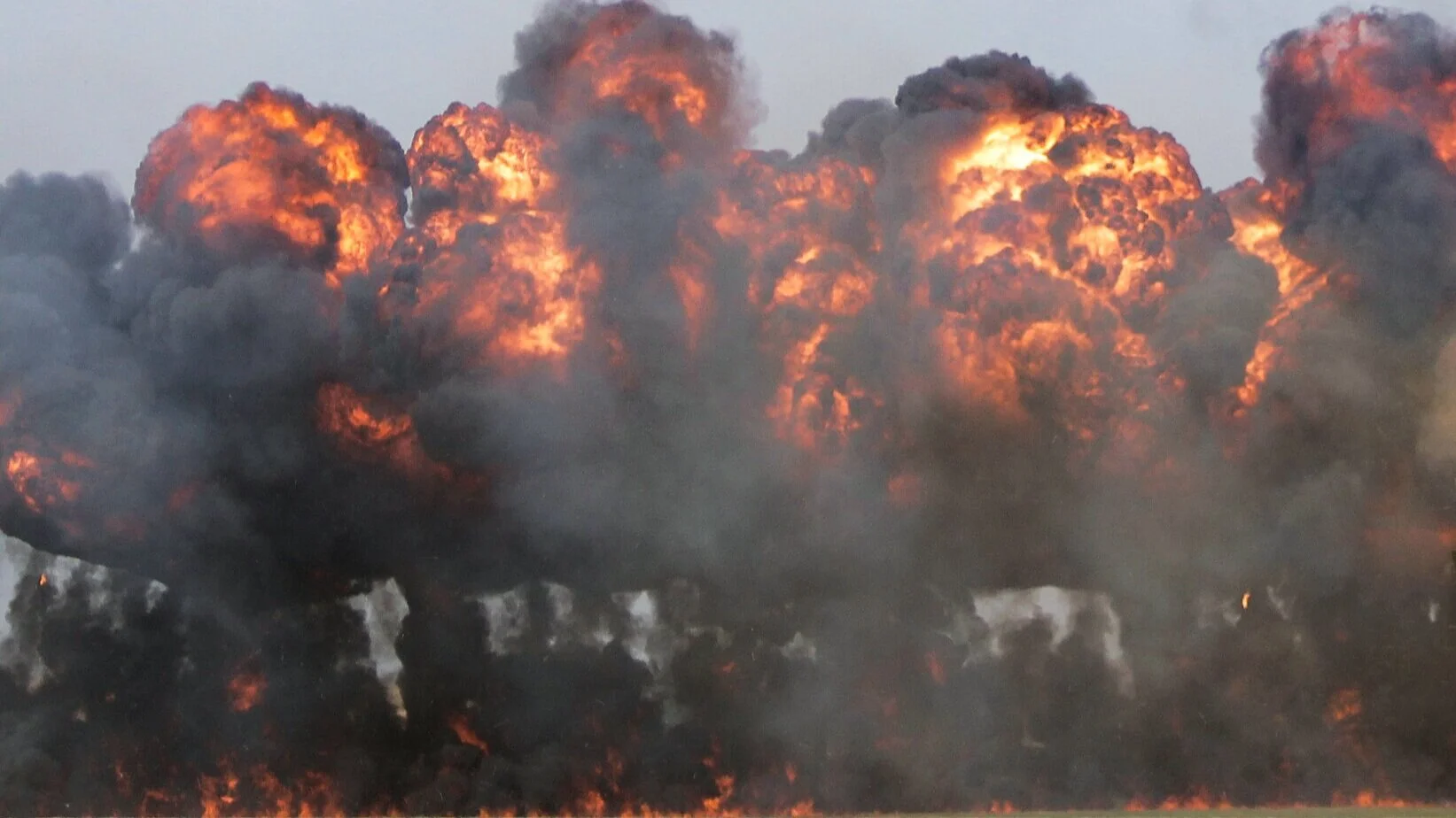
Environmental Disasters
IDCube Geo visualizes damages of natural aquatic resources, forest fires, and weather changes.